
TL;DR
Listen free for 30 days with Audible
Thousands of audiobooks and originals — cancel anytime.
Start your free trialAs an affiliate, we earn on qualifying purchases.
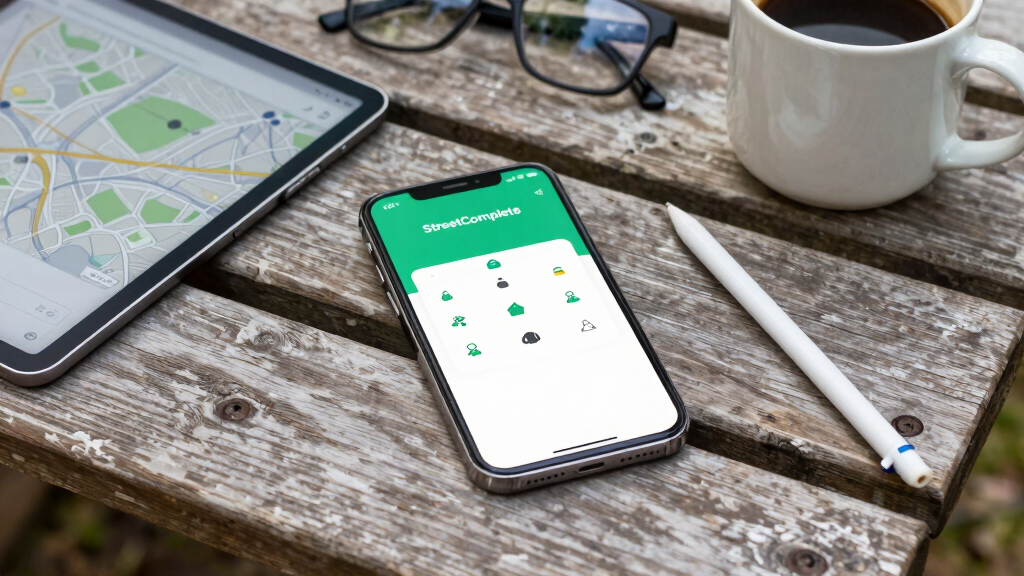
StreetComplete is a mobile app that facilitates user contributions to OpenStreetMap through simple, guided quests. It aims to improve map data accuracy by encouraging more community participation. The app is gaining popularity among casual mappers and volunteers.
StreetComplete, a mobile application designed to simplify contributions to OpenStreetMap, is gaining attention for its approach of guiding users through small, specific editing tasks called quests. The app aims to lower the barrier for casual mappers, encouraging more widespread participation in improving map data, which is vital for navigation, urban planning, and humanitarian efforts.
Developed by a team of open-source enthusiasts, StreetComplete offers a user-friendly interface that presents users with simple questions about their surroundings, such as the name of a building, the type of a road surface, or the opening hours of a business. These questions, or quests, are designed to be quick to answer and easy to verify, making it accessible for users without technical mapping experience.
Since its recent release, StreetComplete has seen a rapid increase in downloads and active users, according to data from the app’s developers. The app connects directly to OpenStreetMap, allowing users’ responses to be uploaded and integrated into the global map database. This process helps address gaps and inaccuracies in the map, which is used worldwide for various applications.
OpenStreetMap is a collaborative project relying on volunteers to update and verify map data. Experts say that tools like StreetComplete could significantly enhance the quality and coverage of the map, especially in under-mapped regions, by making contributions more accessible to the general public.
Implications of User-Friendly Mapping for OpenStreetMap Data Quality
The rise of StreetComplete could lead to a substantial increase in volunteer contributions, especially from casual users who might not have previously engaged with complex editing tools. This democratization of mapping has the potential to improve data accuracy, coverage, and timeliness—critical factors for applications like navigation, disaster response, and urban development.
Furthermore, by making editing accessible, StreetComplete supports the broader goal of open data initiatives, fostering community involvement and transparency. However, experts caution that quality control remains essential, as unverified inputs could introduce errors into the map.
As an affiliate, we earn on qualifying purchases.
Background on OpenStreetMap and the Role of Community Contributions
OpenStreetMap, launched in 2004, is a free, editable map of the world created by a global community of volunteers. Its data is used by companies, governments, and individuals for navigation, research, and planning. Despite its success, the project faces challenges related to data completeness and accuracy, especially in less-developed regions.
Traditional editing tools require some technical knowledge, which can deter casual contributors. Recent efforts have focused on creating more accessible interfaces and gamified experiences to broaden participation. StreetComplete is part of this trend, aiming to simplify the editing process by breaking it down into manageable, everyday questions.
Prior initiatives like Mapillary and MapRoulette have also sought to improve map quality through community-driven efforts, but StreetComplete emphasizes ease of use and minimal commitment to encourage ongoing participation.
“Tools like StreetComplete lower the barrier for casual mappers, which could lead to a more complete and accurate map for everyone.”
— Alex Smith, OpenStreetMap contributor
As an affiliate, we earn on qualifying purchases.
Unverified Contributions and Data Quality Concerns
It is still unclear how effectively StreetComplete will maintain data quality as the user base grows. While the app includes verification features, the potential for inaccurate or inconsistent inputs remains a concern. The long-term impact on OpenStreetMap’s data integrity is yet to be fully assessed.
Additionally, the extent of adoption in different regions and among various user demographics remains uncertain, as does the app’s ability to sustain user engagement over time.
As an affiliate, we earn on qualifying purchases.
Monitoring Adoption and Ensuring Data Integrity
Developers plan to track the app’s adoption rates and gather user feedback to improve functionality. OpenStreetMap community groups may also implement additional verification measures to ensure data quality. Future updates could include more quests and integration with other mapping tools to further streamline contributions.
Meanwhile, researchers and community leaders will likely observe how StreetComplete influences overall map coverage and accuracy, especially in underserved areas, over the coming months.
As an affiliate, we earn on qualifying purchases.
Key Questions
How does StreetComplete make mapping easier?
It guides users through simple questions about their surroundings, allowing quick, verified contributions without technical mapping knowledge.
Can anyone contribute to OpenStreetMap using StreetComplete?
Yes, the app is designed for casual users and does not require prior mapping experience, making it accessible for a broad audience.
What types of data can users add with StreetComplete?
Users can contribute information such as place names, road types, opening hours, and other attributes that improve map detail.
Are contributions from StreetComplete verified before being added?
The app includes verification features, but the accuracy of contributions depends on user honesty and verification mechanisms. The impact on data quality is still being studied.
What are the limitations of StreetComplete?
Potential limitations include inconsistent data quality and limited adoption in some regions. Long-term effectiveness will depend on community oversight and continued user engagement.
Source: hn
Grilling season Picks
grills
As an affiliate, we earn on qualifying purchases.